Full Guidebook now released.
Click Here to purchase the digital copy for $20. This will take you to a PayPal link to pay via credit card. After payment you will be asked to enter your email (twice, once on PayPal and once on our site) and we will email you the download link.
It’s 66 pages of full color A4 complete with maps and all the information detail below in the table of contents.
We are currently still working on the print edition.
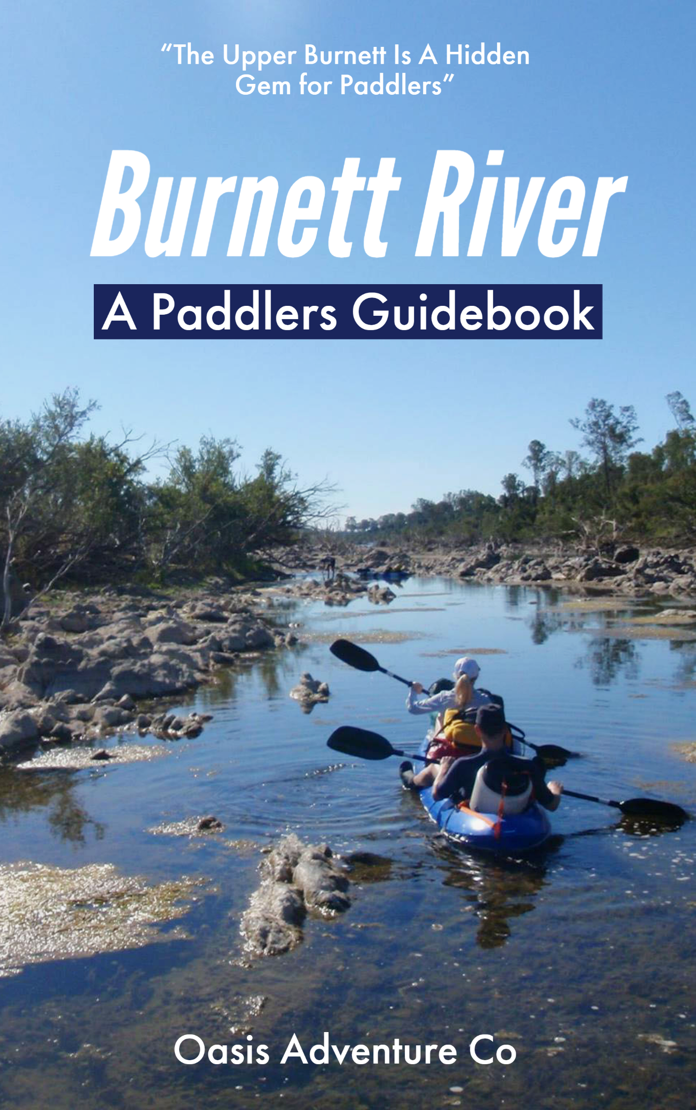
In 2014 one of the Oasis Adventures guides started a project he called the Descent of the Burnett River – undertaking a 460km descent of the Burnett River from source to sea. In this the goal was to navigate all parts of the river that have water.
However when completing the paddles it was found that information on water levels and public access points into the river (as most of the river is lined by private property) was very difficult to find.
In this guide we share what was learnt to help your paddle trips on the Burnett easier to organize and take part in.
Table Of Contents
- About The Burnett
- Wildlife
- Resources
- Access To The River
- Leg 1 Munduberra to Humphrey/Robinsons Road
- Leg 2 Humphrey/Robinsons Road to Gayndah Weir
- Leg 3 Gayndah Township to Grays Road
- Leg 4 Grays Rd to Benyenda Rd
- Leg 5 Benyenda Rd to Mingo Crossing
- Leg 6 Mingo Crossing to Paradise Dam
- Leg 7 River Rd to Booyal Crossing
- Leg 8 Booyal Crossing to Wallaville
- Leg 9 Wallaville to Weir Rd
- Leg 10 Weir Rd to Cedars Crossing
- Leg 11 Cedars Crossing to Sandy Hook
- Leg 12 Brocks Road to Bundaberg Town
- Leg 13 Bundaberg Town to River Mouth (Burnett Heads)
Click Here to purchase the digital copy for $20. This will take you to a PayPal link to pay via credit card. After payment you will be asked to enter your email (twice, once on PayPal and once on our site) and we will email you the download link.
To receive the first 2 chapters for free now, enter your email below.

